Garmin
Etrex 22X
Etrex 22X
Go Further, Stay Safer
Ready to elevate your outdoor adventures? The eTrex 32x is a rugged handheld GPS, built for explorers who need precise tracking in the toughest conditions.
🖥️ Crystal-clear Display: The 2.2" sunlight-readable screen ensures excellent visibility in any condition.
🏞️ TopoActive Maps: Preloaded with detailed maps that include routable roads and trails for hiking and cycling.
🚀 Dual Satellite Support: Track confidently with GPS and GLONASS, even in environments where GPS alone struggles.
🧭 Advanced Navigation: The 3-axis compass and barometric altimeter give you precise directional and altitude readings.
💾 Ample Storage: 8 GB internal memory with a microSD™ card slot provides plenty of room for additional maps.
🔋 Extended Battery Life: With up to 25 hours of power in GPS mode, you’ll never have to cut your adventures short.
Whether it's uncharted trails or challenging landscapes, the eTrex 32x has everything you need to explore with confidence. Ready to conquer new terrains? Get yours now!
In The Box
- eTrex 22x
- USB cable
- Documentation
Downloads
Check out our collection of downloads to learn more about what the Garmin Etrex 22X GPS has to offer!
Share
SEE THE WAY
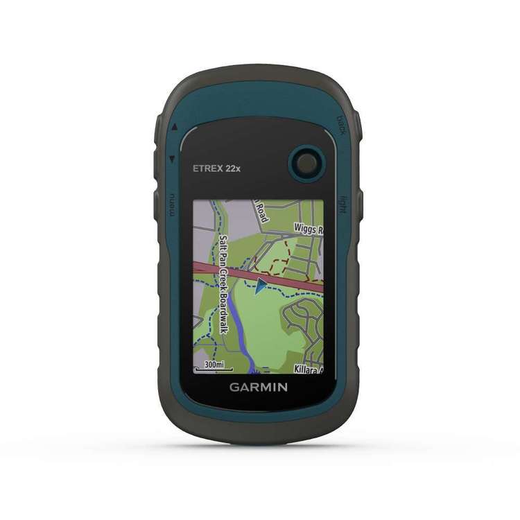
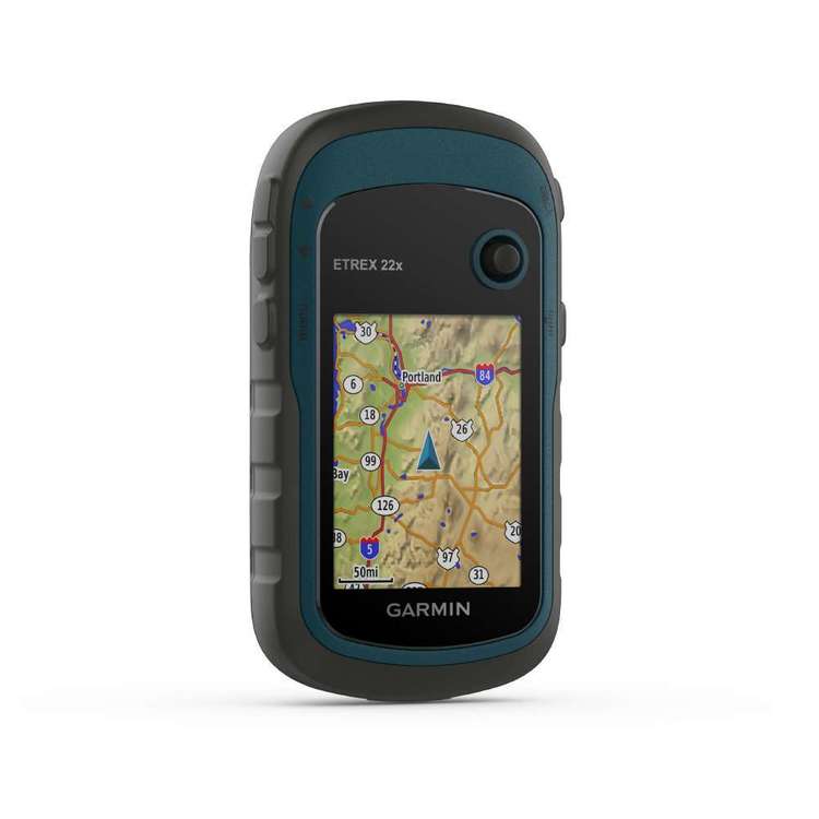
ETrex 22x and 32x come with 2.2” 65K color, sunlight-readable displays. Durable and water-resistant, these handhelds are built to tackle the toughest elements.
EXPLORE THE TERRAIN
Preloaded with road-routable TopoActive maps, eTrex 22x and 32x show streets, trails, waterways, and thousands of points of interest, ensuring you know every detail of your surroundings.
KEEP YOUR FIX
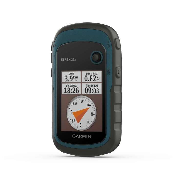
With GPS and GLONASS satellite systems, eTrex tracks better in challenging environments. The eTrex 32x also adds a 3-axis compass and barometric altimeter for better orientation.
FIND FUN
Geocaching is a breeze with support for paperless geocaching. Simply upload GPX files and view terrain, location, and hints to find hidden caches.
GO ANYWHERE
Whether on ATVs, boats, or on foot, eTrex mounts to various setups. Use City Navigator® NT maps for driving directions or rugged mounts for off-road adventures.
Specifications
General
Dimensions: 2.04” x 3.90” x 1.03” (5.17 x 9.90 x 2.61 cm)
Weight: 3.5 oz (100.0 g)
Water Rating: IPX7
Display Type: Sunlight-readable, monochrome, transflective memory-in-pixel (MIP)
Display Size: 0.9" x 0.9" (23 x 23 mm)
Display Resolution: 128 x 128 pixels
Battery Type: Rechargeable internal lithium-ion
Battery Life: Up to 90 hours at 10-minute tracking (default)
Up to 35 hours at 10-minute tracking with 1-second logging
Up to 24 days at 30-minute tracking power save mode
Up to 1 year when powered off
Interface: Micro USB
Weather Forecasts: Yes
Point-to-Point Navigation: Yes
Compatible with Earthmate: Yes
Garmin Explore Website Compatible: Yes
Wireless Connectivity: Yes (Bluetooth®, ANT+®)
Maps & Memory
Waypoints/Favorites/Locations: 500
Tracks: Single dynamic track
Navigation Track Log: Single auto overwrite track log
Navigation Routes: 20, 500 points per route
Sensors
GPS: High-sensitivity receiver
GPS Compass (While Moving): Yes
InReach Features
Interactive SOS: Yes
Send and Receive Text Messages to SMS and Email: Yes
Send and Receive Text Messages to Other inReach Device: Yes
Exchange Locations with Other inReach Device: Yes
MapShare Compatible with Tracking: Yes
Virtual Keyboard for Custom Messaging: Yes
Send Waypoints to MapShare During Trip: Yes
Send Route Selection to MapShare During Trip: Yes
inReach Remote Compatible: Yes